
There are different tools, we can employ for a participatory practice. Mapping is one of them. In http://www.mappingforrights.org/participatory_mapping, participation is achieved through ‘representing the spatial knowledge of local communities’. In the website, the emphasis is made over the expert knwoledge of the locals versus official knowledge, which may show and hide certain knowledge.
[…] local inhabitants possess expert knowledge of their local environments which can be expressed in a geographical framework which is easily understandable and universally recognised. Participatory maps often represent a socially or culturally distinct understanding of landscape and include information that is excluded from mainstream or official maps. Maps created by local communities represent the place in which they live, showing those elements that communities themselves perceive as important such as customary land boundaries, traditional natural resource management practices, sacred areas, and so on.
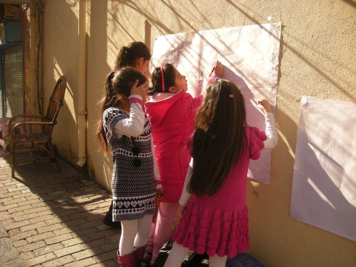
Participation requires one to hand the pen to others, or even better, to draw together with two pens! One has to leave his/her authority to create an honest communication. The Fener Balat Participatory Video Wrokshop in 2011, explored participation in different ways. More information may be found here: http://fenerbalatworkshop.wordpress.com.

Leave a comment